Posts

Showing posts with the label grisons

Chamanna Cluozza from Zernez

Image
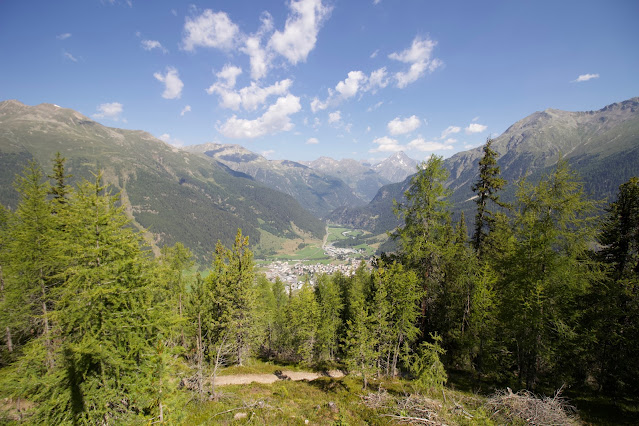
  🗺️ Overview Starting Point:  Parking lot at the edge of Zernez towards Fuorn Pass (Elevation: 1,500m) End Point:  Chamanna Cluozza (Elevation: 1,900m) Lowest Point:  River crossing at 1,850m Highest Point:  Ridge at 2,100m Total Elevation Gain:  Approx. 900m (600m initial climb + 50m to Chamanna + 250m on the return) Distance:  Approx. 10 km (round trip) Duration:  4.5 to 5.5 hours (including breaks) Difficulty:  Moderate – steep ascent initially, followed by a gentle descent Best Season:  Summer to early autumn Download GPS file The Journey Zernez is in the middle of nowhere—or at least it feels that way. For 30 km in every direction, there's nothing but untouched nature. While this might not seem vast to Americans, in Europe, it gives the impression of a wilderness as remote as a desert. The closest "city" is St. Moritz, about half an hour away, making Zernez a perfect escape for those who want to get lost in nature. Zernez is also ...

Caumasee, Crestasee and Il Spir

Image
🗺️ Overview Starting Point:  Parking near Flims, Grison ( see at this link ) Distance:  Approximately 11 km Elevation Gain:  Around 250 m ascent/descent Duration:  Around 3 hours nonstop; recommended as a full-day excursion Highlights:  Lake Cresta, Il Spir viewpoint, Caumasee Lake Difficulty:  Easy to moderate Download GPS file Section 1: From Parking to Lake Cresta Our hike began at a convenient parking spot just before reaching Flims in the beautiful region of Grison. It is at the end of  Punt la Reisga road (always wierd these Roumatsch names!).  We initially descended towards the picturesque Lake Cresta, making this our first swimming stop. Lake Cresta, though strikingly beautiful, doesn't have much in the way of traditional beaches apart from a small area next to the restaurant. However, if you're willing to brave the muddy shoreline, the crystal-clear waters provide a refreshing and enjoyable swim. There's even a charming little island in ...

The forgotten ones (Grisons)

Image
In Switzerland I live, as a consequence it is the plase I hike the most and as a consequence where I "forget" most hikes. For this reason you find here a reduced list of hikes I don't remember the full details for and I am not likely to redo anytime soon. In particular this post contains hikes in Grisons! Grisons is a huge huge canton with many many mountains and these are some of the farthest places from where I live. So unlikely that I'll go there again although I have plenty of planned hikes elsewhere in Grisons! Tarasp, Grisons, Switzerland Download GPS file This is a short one. It starts from the parking below Tarasp Castle near Scuol. The castle looks really nice sitting on its hill in the middle of the valley! It's worth going just for the sight of it. You can visit it as well but only on specific days and it was closed when we went. So we decided to go to Lej Nair (Black Lake) The hike take about 1h15 return and is without difficulties.  Valbella, Grisons,...